&fill=rgba(0,0,0,0))
Turó de la Terma d'en Planes

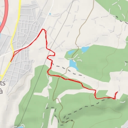
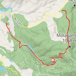
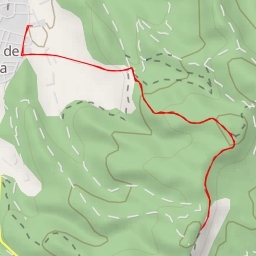
This extremely difficult out-and-back hiking route will take you through the stunning area surrounding Turó de la Terma d'en Planes. With a total distance of 14.126 kilometers and an elevation gain of 344 meters, this hike is not for the faint of heart.
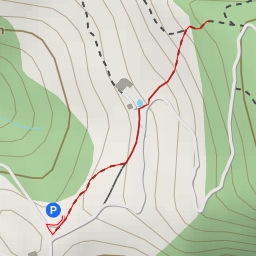
Starting at the trailhead, you'll pass by parking areas before reaching the picturesque Collet de l'Apallador at 1.15 kilometers from the start. This saddle offers a perfect spot to catch your breath and take in the breathtaking views.
Continuing on, you'll trek towards the majestic peaks of Puig Castellar at 1.75 kilometers and Matagalls Xic at 4.25 kilometers from the start. These peaks provide a challenging yet rewarding climb, with panoramic vistas awaiting you at the summits.
As you make your way back, be sure to stop by the tranquil Font Pomereta spring at 6.23 kilometers from the start to refuel and refresh yourself for the return journey.
Throughout the hike, it is important to stay hydrated, bring plenty of water, and check the weather forecast before setting out. With its varying terrain and significant elevation gain, this route demands careful preparation and a good level of fitness. So lace up your hiking boots, pack your essentials, and get ready for an unforgettable adventure in the beautiful Turó de la Terma d'en Planes region.