&fill=rgba(0,0,0,0))
CR 324 - Kiischpelt


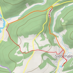
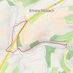
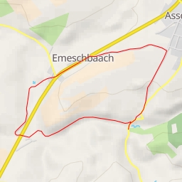
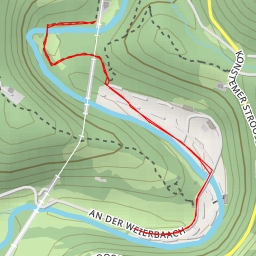
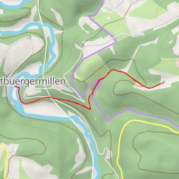
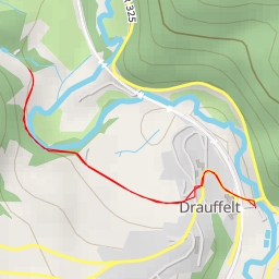
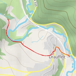
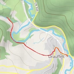
This hiking route in Kiischpelt covers a distance of 7.516 kilometers with an elevation gain of 140 meters, taking approximately 2 hours and 5 minutes to complete. The trail is classified as difficult due to its length and elevation.
As you start your journey, you will come across a shelter just 0.01 kilometers from the beginning of the trail, providing a nice resting spot for hikers. Continuing on, at 0.13 kilometers from the start, you will find "Beim Schräiner," a pub where you can grab a refreshment and replenish your energy.
Midway through the hike, around 3.52 kilometers from the start, there is a water source available for hikers at a distance of 29.52 meters from the trail. This can be a crucial point to refill your water supply and stay hydrated.
As you near the end of the trail, at 0.87 kilometers from the start, you will encounter a bench where you can take a breather and enjoy the views. Additionally, a spring is located 0.24 kilometers from the start, offering a natural water source along the way.
It is recommended to bring an adequate amount of water, especially on a difficult trail like this. Checking the weather forecast before embarking on the hike is also advisable to ensure a safe and enjoyable experience.
Overall, this circular route in Kiischpelt offers a challenging yet rewarding hiking experience, with various points of interest along the way to enhance your journey.