&fill=rgba(0,0,0,0))
3 - Glarus Nord

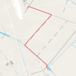
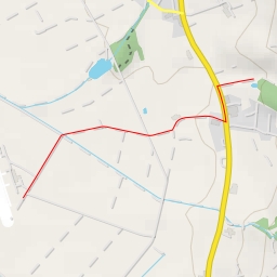
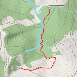
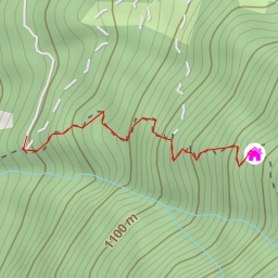
Welcome to the hiking route in Glarus Nord! This circular trail offers a picturesque journey through the beautiful surroundings, covering a distance of approximately 3.9 kilometers with an elevation gain of 241 meters. The estimated duration for this hike is about 1 hour and 30 minutes, making it suitable for hikers of all levels, as it is categorized as easy in terms of difficulty.
As you start your hike, you will come across the historic Rüfihaus and Haltli manor, both offering a glimpse into the area's rich heritage. Along the way, you will pass by various points of interest such as fountains, benches, and viewpoints, providing opportunities to rest and take in the stunning scenery. Make sure to refill your water bottles at the drinking water stations conveniently located on the trail.
Further on, you will encounter Geltschenrüti and Linthbrücke information points, where you can learn more about the area's history and geography. As you reach the midway point, take a moment to relax at the picnic site and enjoy a meal amidst nature's tranquility.
During the hike, it is advisable to bring plenty of water, wear sturdy hiking shoes, and check the weather forecast beforehand. Additionally, be mindful of your surroundings and follow trail markers to stay on course.
As you near the end of the trail, you will pass by Raben restaurant, offering a chance to refuel with local cuisine before heading back to the starting point. Remember to dispose of any waste responsibly and leave only footprints behind.
Overall, this hiking route in Glarus Nord promises a delightful outdoor experience with a mix of natural beauty and cultural insights. Embrace the journey, stay hydrated, and enjoy the serenity of the surroundings as you explore this enchanting region.