&fill=rgba(0,0,0,0))
מגדל
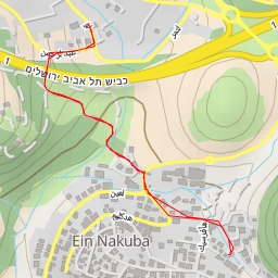
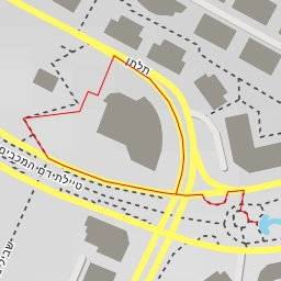
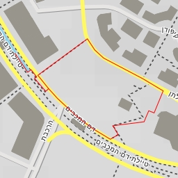
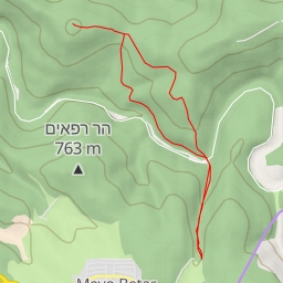
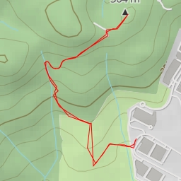
This hiking route is located in a picturesque area with beautiful views and natural surroundings. The trail is considered easy, with a total distance of 3.429 kilometers and an elevation gain of 73 meters, making it suitable for hikers of all levels.
As you start your hike, you will come across a water source located just 0.08 kilometers from the trailhead, providing a perfect spot to refill your water bottle. Further along the path, at about 1.09 kilometers from the start, you will find a picnic site, ideal for taking a break and enjoying a snack while surrounded by nature.
Continuing on, at the same distance marker, there is a viewpoint called "מצפור עמק איילון" where you can pause to take in panoramic vistas of the surrounding landscape. At 1.71 kilometers from the start, you will reach another viewpoint named "מגדל," offering a different perspective of the area.
It is essential to bring an adequate supply of water, wear appropriate footwear, and check the weather forecast before embarking on this hike. Additionally, it is recommended to stay on the designated trail to preserve the natural environment.
As this route is an out-and-back type, you will retrace your steps on the way back to the starting point. Overall, this scenic hike offers a pleasant outdoor experience with various points of interest along the way.