&fill=rgba(0,0,0,0))
1. mája
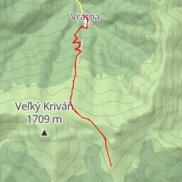
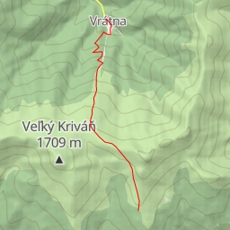
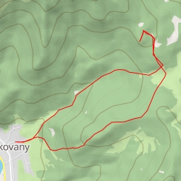
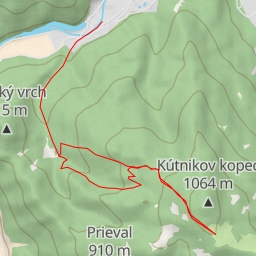
This challenging 11.4-kilometer circular hiking route in the area of 1. mája offers breathtaking views and diverse points of interest along the way.
Starting at the parking area conveniently located at the trailhead, hikers will first pass through the charming village of Podhradie, approximately 3.21 kilometers from the start.
As you continue your ascent, you'll reach a shelter at 3.22 kilometers from the start, providing a perfect spot for a quick break. The trail then leads you to the peak of Bieličie at 5.34 kilometers, where you can enjoy panoramic views of the surrounding landscape.
Midway through the hike, at 5.51 kilometers, you'll encounter a picturesque viewpoint that's worth capturing with your camera. The route then winds its way back, offering a mix of challenging terrain and rewarding sights.
With an elevation gain of 178 meters, this hike is classified as difficult and suitable for experienced hikers. It's important to bring plenty of water, snacks, and proper hiking gear. Don't forget to check the weather forecast before heading out to ensure a safe and enjoyable experience.