&fill=rgba(0,0,0,0))
Blick auf die oberen Kuhfluchtwasserfälle


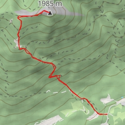
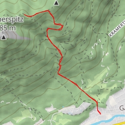
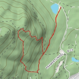
This hiking route takes you through the picturesque area surrounding the Kuhfluchtwasserfälle waterfalls. The trail is 2.793 kilometers long with an elevation gain of 197 meters, making it an easy hike suitable for all skill levels. The estimated duration for the hike is 1 hour and 8 minutes.
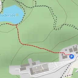
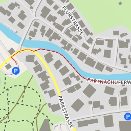
Starting at the parking area, you will follow the trail that leads you to various points of interest along the way. Around the 1.27 kilometer mark, you will reach the Kuhfluchtwasserfälle waterfalls, where you can admire the cascading waters in a beautiful natural setting.
Further along the trail, at about 1.24 kilometers, you will come across a bench where you can take a rest and enjoy the surrounding views. At 1.2 kilometers, there is a wayside cross that adds a touch of historic charm to the hike.
As you continue on, you will encounter shelters at 0.58 and 0.56 kilometers, providing a place to rest or seek shelter if needed. Scenic viewpoints overlooking the upper and middle Kuhfluchtwasserfälle can be enjoyed at 1.4 and 1.38 kilometers respectively.
Throughout the hike, you will also find several benches along the trail, offering opportunities to sit and soak in the peaceful atmosphere of the area. It's advisable to carry an ample supply of water, wear appropriate footwear, and check the weather forecast before embarking on the hike.
The "Out-and-back" route type indicates that you will retrace your steps on the way back to the starting point, allowing you to enjoy the same sights from a different perspective. Don't forget your camera to capture the natural beauty of the Kuhfluchtwasserfälle area.