&fill=rgba(0,0,0,0))
Weidenberg
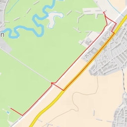
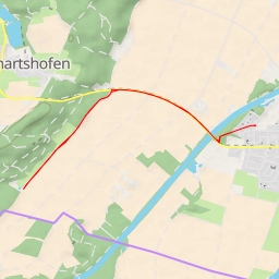
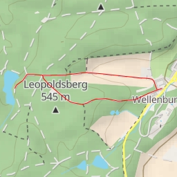
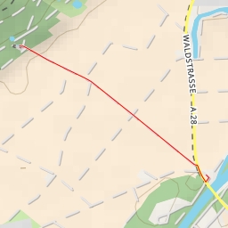
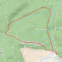
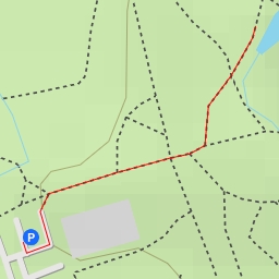
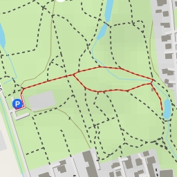
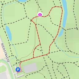
Welcome to the hiking route in Weidenberg! This moderate 5.861-kilometer out-and-back trail offers a pleasant exploration of the area with an elevation gain of 35 meters. The route takes approximately 1 hour and 26 minutes to complete.
As you start your journey, you will come across some beautiful water features such as Kotweiher, Mühlweiher, and Schloßweiher. These serene spots are perfect for a short break or a peaceful moment surrounded by nature. Further along the trail, you will find more water bodies like Besucherparkplatz Burgwalden and Buchkopf-Quelle.
For those looking for sustenance, Gut Walden restaurant and a biergarten are conveniently located along the trail. Don't forget to pack some snacks and plenty of water for the hike. Picnic sites and benches are scattered along the route, providing opportunities to rest and enjoy the surroundings.
If you are interested in history, keep an eye out for wayside shrines and crosses that add a cultural touch to the trail. Additionally, informative signposts are available to enhance your understanding of the area.
Before embarking on the hike, make sure to check the weather forecast and wear appropriate footwear. Parking is available at Parkplatz Golfplatz, and drinking water stations can be found at various points along the trail.
Overall, this hike in Weidenberg offers a mix of natural beauty, cultural interest, and relaxation spots, making it a delightful outdoor adventure for hikers of all levels. Enjoy your time exploring this scenic route!