&fill=rgba(0,0,0,0))
B21
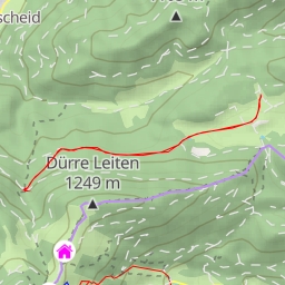
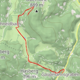
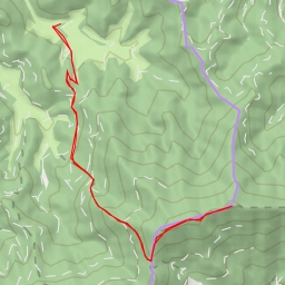
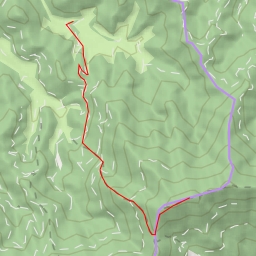
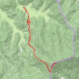
This hiking route in the B21 area offers a moderate challenge with a total distance of 5.416 kilometers and an elevation gain of 262 meters. The estimated duration for this hike is approximately 1 hour and 54 minutes.
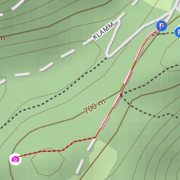
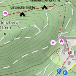
Starting at the trailhead, hikers will first encounter the "Armbad" drinking water source located right on the trail, followed by another drinking water spot at 0.98 kilometers into the hike. As you continue, you will pass by the "Im Thier" attraction and the "Hexenkreis" at 1.11 kilometers, both offering unique sights along the way.
Around the midway point of the hike at 1.76 kilometers, hikers will find a picnic site for a rest stop and a benches to take a break. Further along the trail, at 2.44 kilometers, there is a peak and two cave entrances worth exploring.
For those looking to grab a bite to eat after the hike, the "Kaiser Franz Joseph" restaurant is located near the trailhead at the end of the route. Additionally, there is parking available at the start of the trail for convenience.
Remember to bring plenty of water, as the trail features several water sources but it's always a good idea to be prepared. Checking the weather forecast before heading out is also recommended. Enjoy the scenic views and unique points of interest along this circular hiking route in the B21 area.