&fill=rgba(0,0,0,0))
576
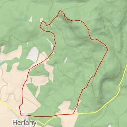
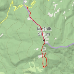
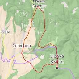
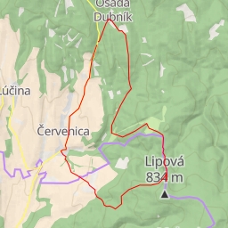
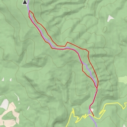
This challenging hiking route takes you through a stunning area with a total distance of 9.229 kilometers and an elevation gain of 171 meters. The estimated duration for this hike is 2 hours and 33 minutes.
Starting off, you will find a parking area right at the beginning of the trail. As you continue onwards, at approximately 0.01 kilometers from the start, you'll come across an information point called "Herlianske sedlo". This will be a great spot to learn more about the area.
Along the way, at 4.61 kilometers from the start, there is a picturesque viewpoint where you can take a break and enjoy the panoramic scenery. As you reach 3.05 kilometers from the beginning, you'll encounter a natural rock formation called "Obria skala".
Additionally, make sure to stop by the "Kamenný hríb" rock formation around 4.18 kilometers from the start, which is a notable attraction in the area.
Towards the end of the trail, at 2.97 kilometers from the start, there is a shelter where you can rest and refuel before turning back.
Remember to bring plenty of water, snacks, and appropriate hiking gear for this challenging and rewarding adventure. It's advisable to check the weather forecast before heading out and to inform someone about your hiking plans. Enjoy the journey and stay safe on the trail!