&fill=rgba(0,0,0,0))


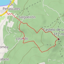
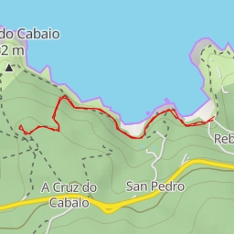
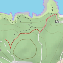
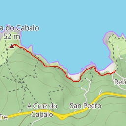
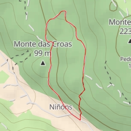
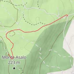
This hiking route is located in a moderate difficulty area with a distance of 5.038 kilometers and an elevation gain of 138 meters. The estimated duration for this hike is about 1 hour and 30 minutes.
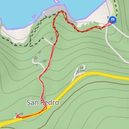
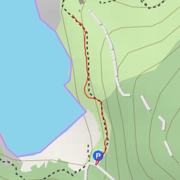
As you start your journey, you will come across a picnic site roughly 0.22 kilometers from the start point, where you can take a break and enjoy some snacks. Continuing on, you will find a parking area right on the trail at the beginning of your hike.
Throughout the trek, you will encounter several peaks and saddles, offering stunning views of the surrounding natural landscape. These peaks are at varying distances from the trail, showing up at different points along the route. The first peak is around 1.57 kilometers from the start, followed by two more peaks at 1.52 kilometers and 2.49 kilometers respectively. As you reach the halfway point, you will come across a saddle at 2.52 kilometers from the start.
Make sure to bring an adequate supply of water, as well as some snacks to keep your energy levels up. It is also recommended to check the weather forecast before heading out on the hike. This out-and-back route provides a challenging yet rewarding experience for hikers looking to explore the natural beauty of the area.