&fill=rgba(0,0,0,0))
Ablanca
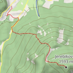
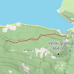
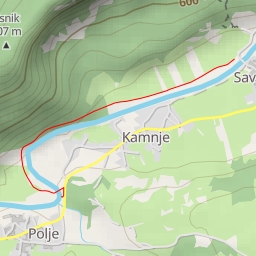
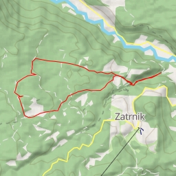
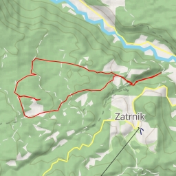
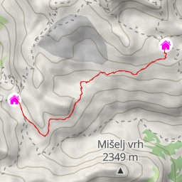
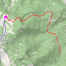
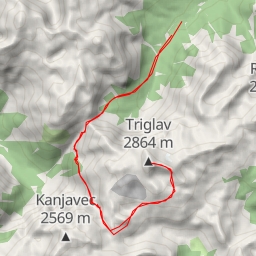
Welcome to the hiking route to Ablanca! Ablanca is a beautiful destination known for its stunning viewpoints and natural features.
The trail is 8.082 kilometers long with an elevation gain of 627 meters, making it a difficult hike that will challenge even experienced hikers. The estimated duration for the hike is 3 hours and 26 minutes.
As you start your journey, you will come across Studorski preval, a saddle located 3.76 kilometers from the trailhead. This is a great spot to take in the surrounding beauty before continuing on your trek.
Further along the trail, at 2.98 kilometers from the start, you will find a refreshing spring where you can refill your water bottles and take a break. As you trek on, you will also come across a historic wayside cross located 1.43 kilometers from the start.
At 2.9 kilometers from the beginning of the trail, there is a bench where you can rest and enjoy a snack while soaking in the views. Additionally, there are two viewpoints along the route, one at 3.03 kilometers and the other at 4.04 kilometers from the start, both offering breathtaking perspectives of the surrounding landscape.
It is important to come prepared for this challenging hike by bringing plenty of water, snacks, and proper hiking gear. Be sure to check the weather forecast before embarking on your adventure to ensure a safe and enjoyable experience. Whether you are an avid hiker or just looking for a new outdoor challenge, the route to Ablanca promises a memorable and rewarding journey.