&fill=rgba(0,0,0,0))
CR 331 - CR 331 - Kiischpelt
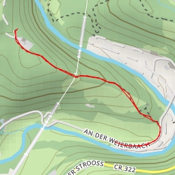
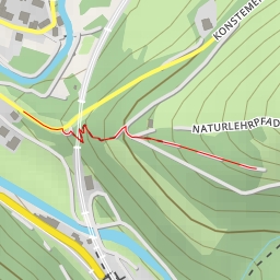
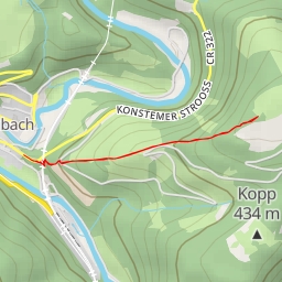
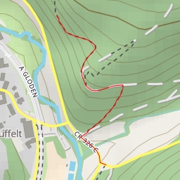
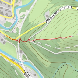
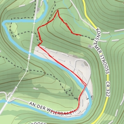
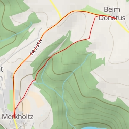
Welcome to the hiking route at CR 331 in Kiischpelt. This circular route offers a pleasant and easy hike with a total distance of approximately 4.943 kilometers and an elevation gain of 35 meters, making it suitable for hikers of all levels.
As you start your journey, you will come across several points of interest along the trail. About 0.05 kilometers from the start, you will find a picnic site where you can take a break and enjoy a snack. Further along the trail, at around 1.71 kilometers from the start, you will reach the viewpoint of Saint-Donatus, which also serves as a memorial. This spot offers a great opportunity to take in the surrounding views and learn about the area's history.
Along the way, you will also encounter informational signposts such as Sentier Charles Mathieu and other memorials. Additionally, there are designated picnic sites and benches scattered throughout the route for your convenience.
For those driving to the trailhead, there is wheelchair-accessible parking available at the beginning of the route. It is recommended to bring an ample water supply, especially on warmer days, and to check the weather forecast before embarking on your hike.
Overall, this trail provides a leisurely and informative outdoor experience for nature enthusiasts and history buffs alike. Enjoy the tranquil surroundings and take your time exploring the beauty of CR 331 in Kiischpelt.