&fill=rgba(0,0,0,0))
Tor
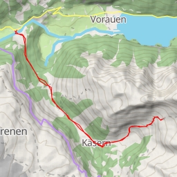
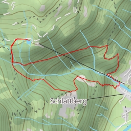
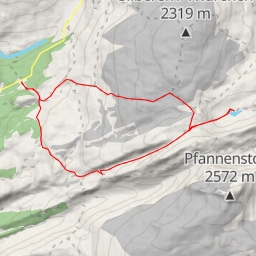
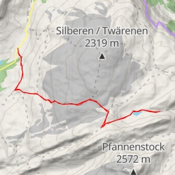
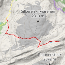
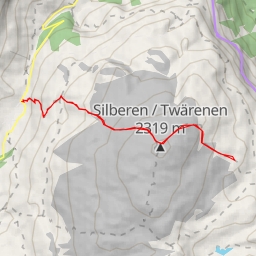
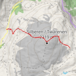
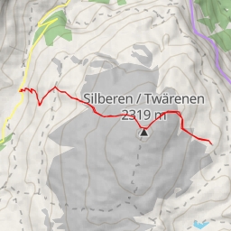
This hiking route is located in the breathtaking region of Tor, offering stunning natural landscapes and challenging terrain for adventure seekers. The route is a circular path with a total distance of 11.183 kilometers and an elevation gain of 1623 meters, making it an extremely difficult hike that will test your endurance and strength.
As you start your journey, you'll come across the Löntschtobel Bridge just 0.01 kilometers from the trailhead. This picturesque bridge is a great spot to capture some photos and admire the surrounding scenery. Further along the trail at 0.86 kilometers, you'll find a drinking water station to refill your water bottles and stay hydrated.
Around the 5.38-kilometer mark, you'll reach the peak known as "Tor", which offers panoramic views of the area and a sense of accomplishment for reaching this high point. Take a moment to rest and enjoy the beautiful vista before continuing your hike.
Throughout the route, you'll also encounter several benches at various points for resting and taking in the serenity of the surroundings. Additionally, there are facilities like the Löntschtobel Spring at 0.79 kilometers for a refreshing break.
For safety and convenience, there are parking spaces available at the trailhead, ensuring easy access to the starting point of your adventure. Remember to bring plenty of water, wear sturdy hiking shoes, and check the weather forecast before embarking on this challenging hike. Enjoy the journey and the breathtaking views that the Tor region has to offer!