&fill=rgba(0,0,0,0))
Höchnasen

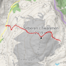
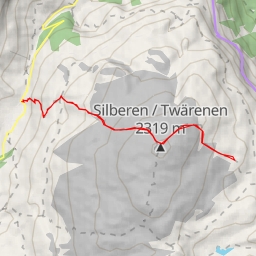
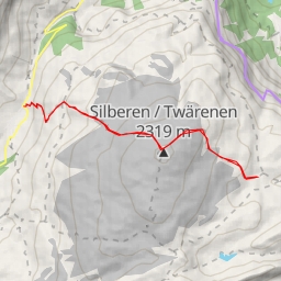
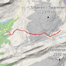
Welcome to the Höchnasen hiking route, an extremely difficult 13.038 km circular trail with an elevation gain of 1853 meters. This challenging hike will take you approximately 7 hours and 39 minutes to complete, so make sure you are prepared with plenty of water, snacks, and appropriate gear.
Starting from the parking lot at the trailhead, you will first come across the Löntschtobel Brücke, a picturesque bridge just 0.01 km from the beginning of the trail. As you continue, you will pass by the Löntschtobel viewpoint, offering stunning views of the surrounding landscape just a short distance away.
Around the 5.89 km mark, you will reach the peak of Wiggis, a natural wonder that provides a perfect spot to take a break and enjoy the panoramic views. Further along the trail, at 6.31 km, you will encounter the peak of Höchnasen, followed by the Tor peak at 5.38 km. These peaks offer a challenging but rewarding experience for hikers seeking breathtaking views.
Throughout the hike, you will find various facilities such as benches (0.96 km and 0.01 km), and drinking water stations (0.86 km) for your convenience. There is also a spring, Quelle Löntschbord, at 0.79 km from the start, where you can refill your water bottles.
Please note that the trail is rugged and steep in some sections, so be prepared for a strenuous workout. Check the weather forecast before starting your hike and dress accordingly.
After completing the loop and enjoying the stunning scenery, you will return to the parking lot where you began your adventure. We hope you have a memorable and safe hiking experience at Höchnasen!