&fill=rgba(0,0,0,0))
B4233
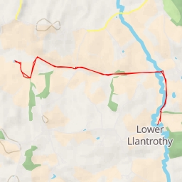
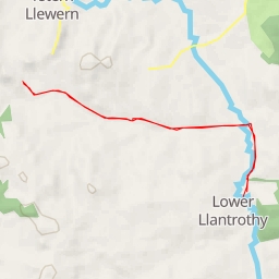
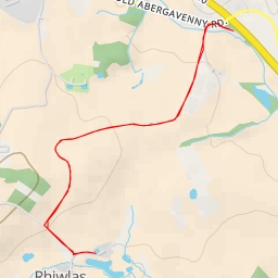
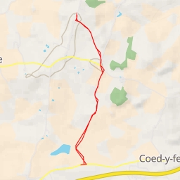
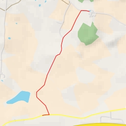
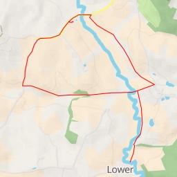
This hike takes place near the B4233 area and offers a challenging route with a distance of 8.557 kilometers and an elevation gain of 36 meters. The estimated duration for completing this hike is around 2 hours and 4 minutes.
As you start your journey, you will come across a parking area conveniently located at the beginning of the trail. Be sure to bring enough water and snacks to keep you energized throughout the hike. The trail includes various points of interest such as water sources at different distances from the trail.
• Approximately 0.54 kilometers into the hike, you will find a water source located off the trail.
• Around 1.15 kilometers from the start, another water source is available, slightly further away from the trail.
• At 1.24 kilometers from the start, there is another water source off the trail.
• Midway through the hike, at approximately 2.59 kilometers from the start, you will find a water source right along the trail.
• Finally, at 3.88 kilometers from the start, another water source can be found conveniently on the trail.
Remember to stay hydrated and pace yourself during this difficult hike. Check the weather forecast before you go and make sure to wear appropriate hiking gear.
Enjoy the stunning views and natural beauty along the B4233 hiking trail!