&fill=rgba(0,0,0,0))
Autovía del Norte - Autovía del Norte
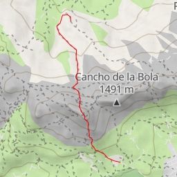
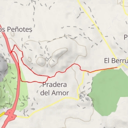
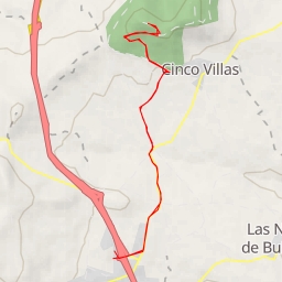
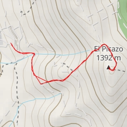
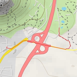
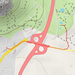
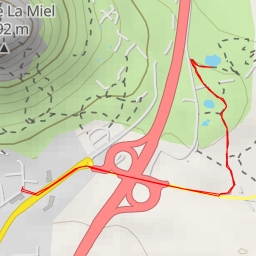
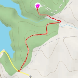
This hiking route takes you through the picturesque area near Autovía del Norte. The trail is 7.484 kilometers long with an elevation gain of 68 meters, making it a difficult but rewarding journey.
As you start your hike, you'll come across a parking area at the beginning of the trail. Further along, at around 1.13 kilometers into the hike, you'll find another parking spot. It's recommended to start early and bring plenty of water, as the trail can be challenging.
Around the 1.51-kilometer mark, you'll reach a restaurant called El Cancho del Águila, where you can take a break and refuel before continuing your journey. As you trek further, you'll pass by peaks like El Gallego and El Asador de Teodomiro, offering stunning views of the surrounding natural beauty.
Midway through the hike, at approximately 3.25 kilometers, you'll encounter a peak that provides a perfect spot to take in the scenery and rest. Keep an eye out for more peaks along the way, providing varying levels of difficulty but rewarding views.
For those who enjoy a challenge and stunning natural vistas, this hiking route near Autovía del Norte is the perfect choice. Before setting out, make sure to check the weather forecast and pack accordingly for a safe and enjoyable adventure.