&fill=rgba(0,0,0,0))
Hoch Camatsch


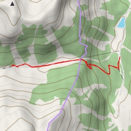
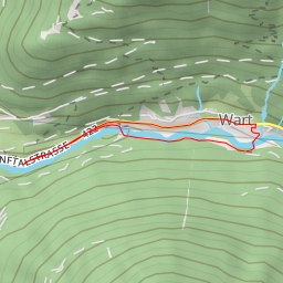
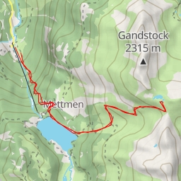
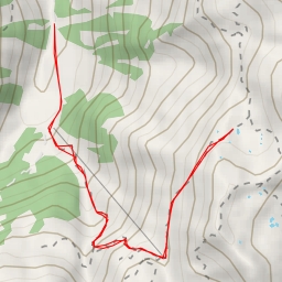
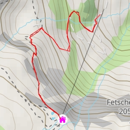
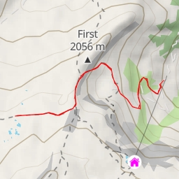
This hiking route takes you through the beautiful area surrounding Hoch Camatsch. The trail is 9.931 kilometers long with an elevation gain of 952 meters, making it a difficult route.
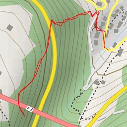
At the beginning of the trail, you will come across the Mornen Parkplatz where you can park your car before starting your hike. Just a short distance away, there is a water source for you to fill up your bottles. As you continue on, you will pass by several other water sources along the trail, so you can stay hydrated throughout your journey.
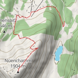
Midway through the hike, you will reach Hoch Camatsch, a peak where you can enjoy stunning views of the surrounding landscape. There is an information point here where you can learn more about the area.
It is important to note that some of the water sources are located off the trail, so you may need to veer off course slightly to reach them. Additionally, there are parking areas at the beginning of the trail for your convenience.
Before embarking on this hike, make sure to bring plenty of water, wear appropriate hiking gear, and check the weather forecast to ensure a safe and enjoyable experience.