Schreinerberg
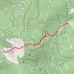
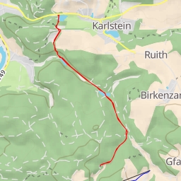
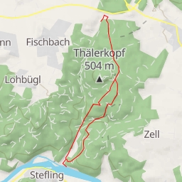
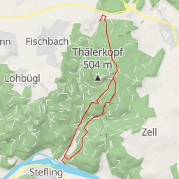
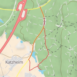
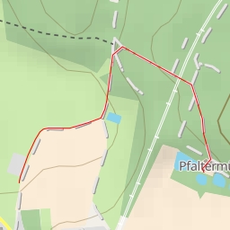
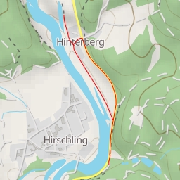
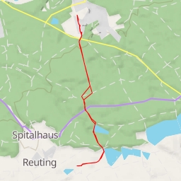
This hiking route will take you to Schreinerberg, a beautiful area with stunning views and natural landmarks. The trail is super easy, making it perfect for hikers of all levels. The total distance of the route is 1.672 kilometers with an elevation gain of 75 meters, and it should take you approximately 34 minutes to complete.
As you start your hike, you'll come across the Parkplatz Friedhof parking area, which is located right at the beginning of the trail. About midway through your hike, you'll find a water source, providing a refreshing break along the way. There are also benches along the trail, perfect for taking a rest and enjoying the surrounding nature.
As you continue on, you'll reach the peak of Schreinerberg, offering panoramic views of the area. At the end of the trail, you'll find a rock formation, adding to the natural beauty of the hike.
It's always a good idea to bring water, wear appropriate hiking gear, and check the weather forecast before embarking on your journey. Whether you're a beginner hiker or a seasoned pro, this route is sure to offer a peaceful and enjoyable outdoor experience.