&fill=rgba(0,0,0,0))
Zwickel
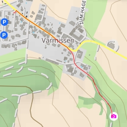
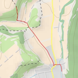
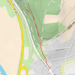
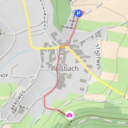
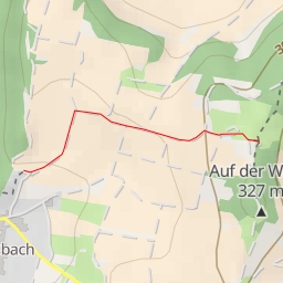
Located in a picturesque area, the Zwickel hiking route offers a pleasant and easy trek for nature enthusiasts. The 3.82-kilometer circular trail features a total elevation gain of 77 meters, making it suitable for hikers of all skill levels.
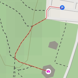
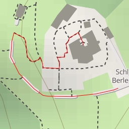
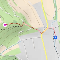
Starting off the hike, you will come across the Letzter Heller parking area, conveniently located at the trailhead. As you venture further, a short distance into the trail will lead you to the historical site of Lippoldsburg, providing a glimpse into the area's rich archaeological past.
Midway through the hike, you will encounter the Zwickel viewpoint, named "Zwickel" after which the route is named. This spot offers a perfect resting point with a bench to relax and take in the scenic views.
Throughout the hike, you will also come across various informational signposts providing insights into the local history and natural surroundings. Additionally, there are benches strategically placed along the trail for hikers to rest and enjoy the peaceful surroundings.
Before embarking on the Zwickel hike, remember to bring an ample water supply and check the weather forecast to ensure a safe and enjoyable experience. Whether you are seeking a leisurely stroll or a brief escape into nature, the Zwickel hiking route promises to deliver a memorable outdoor adventure.