Pfingstweg
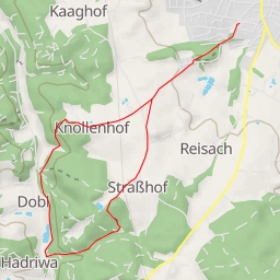
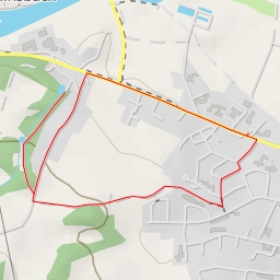
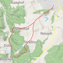
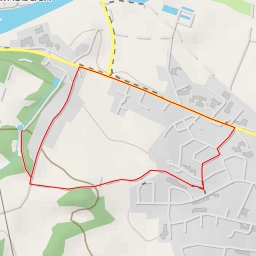
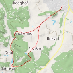
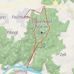
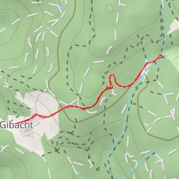
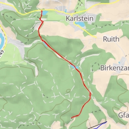
The Pfingstweg hiking route is a circular trail that covers a distance of 4.452 kilometers with an elevation gain of 171 meters, taking approximately 1 hour and 27 minutes to complete. The route is classified as easy in terms of difficulty, suitable for hikers of all levels.
Starting at the designated parking area, hikers will embark on a picturesque journey through this scenic area. Along the way, you will encounter various points of interest that add to the charm of the hike.
At the beginning of the trail, you will come across a historical boundary stone dating back to a bygone era. Continuing onwards, midway through the hike, you will reach a peaceful bench where you can take a moment to rest and enjoy the surrounding nature.
As you progress further, at a distance of 2.18 kilometers from the starting point, you will reach a peak offering stunning panoramic views of the landscape. Nearby, a memorial stands as a reminder of the area's rich history.
Throughout the hike, you will also come across several more boundary stones and a water feature that enhances the natural beauty of the trail. These points of interest are strategically placed along the route, offering hikers a chance to appreciate the historical and natural significance of the area.
It is advisable to bring an adequate supply of water, especially on warm days, and to check the weather forecast before setting out on the hike. With its moderate length and elevation, the Pfingstweg trail provides the perfect opportunity for a refreshing outdoor experience in this beautiful region.