&fill=rgba(0,0,0,0))
Scheibwaldhöhe


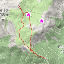
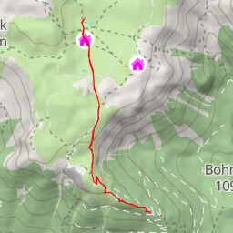
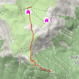
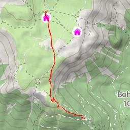
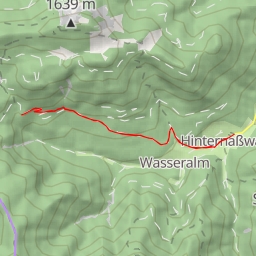
Welcome to the Scheibwaldhöhe hiking route, a challenging 8.5-kilometer circular trail that will take you on a journey through stunning natural landscapes in the area.
Starting at the parking area, you will begin your hike with an uphill climb, passing by the Winterraum shelter and Karl-Ludwig-Haus alpine hut. These are great spots to take a short break and enjoy the surroundings before continuing on your adventure.
As you make your way along the trail, you will come across the Schiff attraction and Dreimarkstein peak, offering breathtaking views of the surrounding peaks and valleys. Be sure to stop by the viewpoints at various locations along the trail for some memorable photo opportunities.
Midway through the hike, you will reach Trinksteinsattel saddle, a perfect spot to rest and take in the natural beauty of the area. From there, you can continue on to explore the Splitterbombenloch cave entrance and Predigtstuhl peak.
The trail also features informative signposts and benches along the way, providing hikers with interesting facts about the area and a place to relax and refuel. As you approach the end of the hike, you will reach the Scheibwaldhöhe peak, where you can enjoy panoramic views of the surrounding landscape as a reward for your efforts.
Please note that this is a difficult hike with a significant elevation gain of 513 meters, so it is important to come prepared with proper hiking gear, plenty of water, and snacks. Make sure to check the weather forecast before setting out and always follow trail markers to stay on course.
Whether you are a seasoned hiker looking for a challenge or a nature enthusiast seeking a rewarding outdoor experience, the Scheibwaldhöhe hiking route offers something for everyone. Lace up your hiking boots and get ready to explore the beauty of this scenic area.