Hohe Lechnerin


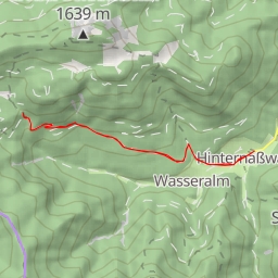
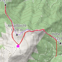
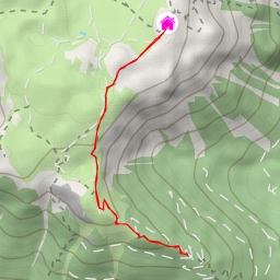
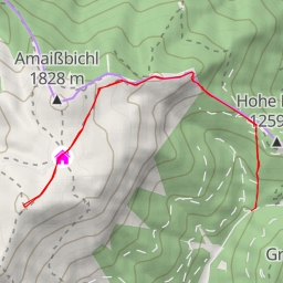
This hiking route is located in a picturesque area, perfect for nature lovers and outdoor enthusiasts. The trail is a circular route with a total distance of 8.969 kilometers and an elevation gain of 513 meters, making it a difficult hike that offers a rewarding challenge.
As you embark on this journey, you will come across several points of interest along the way. At the beginning of the trail, you will find a shelter called "Winterraum" where you can take a break and enjoy some rest. Further along, at a distance of 0.87 kilometers from the start, you will encounter the "Karl-Ludwig-Haus," an alpine hut offering accommodation for those looking to extend their adventure.
Midway through the hike, at approximately 2.55 kilometers from the start, you will spot the "Schiff," an attraction worth exploring. Additionally, at 3.33 kilometers from the start, you will reach the "Dreimarkstein" peak, providing stunning panoramic views of the surrounding landscape.
Throughout the trail, you will also encounter various information points, viewpoints, caves, and peaks, each adding a unique element to your hiking experience. Remember to stay hydrated, bring plenty of water, and check the weather forecast before heading out.
The destination of this circular route is the "Hohe Lechnerin" peak, located at a distance of 4.46 kilometers from the start. As you complete the hike and reach this summit, you will be rewarded with breathtaking views and a sense of accomplishment.
Overall, this hiking route offers a challenging yet rewarding experience for outdoor enthusiasts seeking adventure in a scenic natural setting. Plan your trip carefully, pack accordingly, and immerse yourself in the beauty of this stunning landscape.