&fill=rgba(0,0,0,0))
Leiterweg Ganderfluh
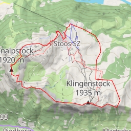
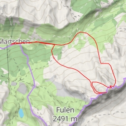
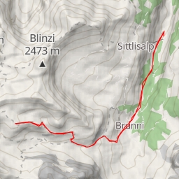
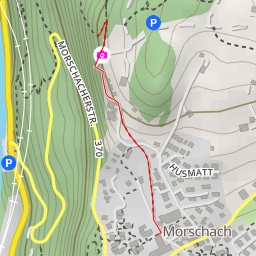
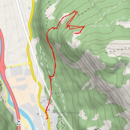
Welcome to the Leiterweg Ganderfluh hiking route, located in a picturesque area with stunning natural beauty. This out-and-back trail covers a distance of 11.361 kilometers and boasts an elevation gain of 1126 meters, offering hikers a challenging and rewarding experience.
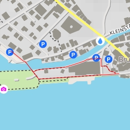
As you begin your journey, you will find parking facilities conveniently located at the trailhead, ensuring easy access to the starting point. Be sure to check the forecast before setting off and bring an ample supply of water to stay hydrated throughout the hike.
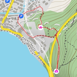
Along the trail, you will encounter various points of interest. At around 0.06 kilometers from the start, you will come across the Brügg information point, providing valuable insights into the surrounding area. Further ahead, at 5.1 kilometers into the hike, the Alafund information point offers additional knowledge about the region.
Throughout the route, you will also encounter several rock formations, adding to the scenic beauty of the trail. Take a moment to appreciate these natural wonders and capture some memorable photos as you continue your hike.
For sustenance options, there are restaurants and cafes like Kinzigpass and Alpcafe Alafund at different points along the trail, allowing you to replenish your energy with a delicious meal or snack.
As you reach the turnaround point, take in the breathtaking views before retracing your steps back to the starting point. Be sure to utilize the benches and rest areas strategically placed along the trail to take short breaks and admire the surroundings.
Overall, the Leiterweg Ganderfluh hiking route offers a challenging yet fulfilling outdoor adventure for hikers looking to immerse themselves in the natural beauty of the area. Enjoy the journey and make lasting memories along the way.