&fill=rgba(0,0,0,0))
Leiterweg Ganderfluh
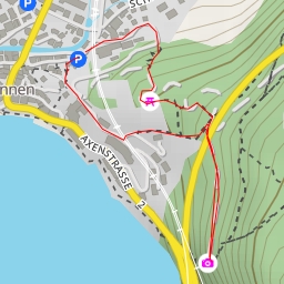
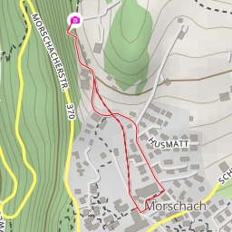
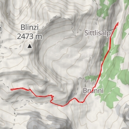
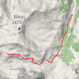
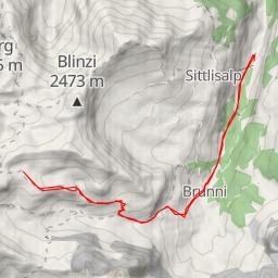
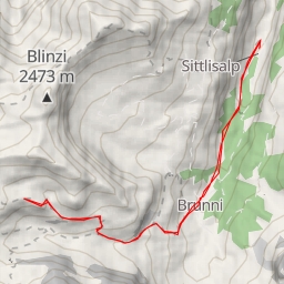
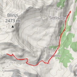
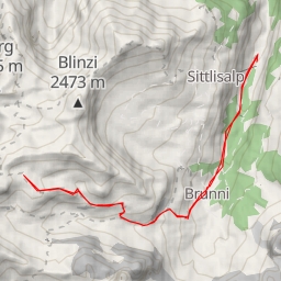
This hiking route takes you through the scenic area of Leiterweg Ganderfluh, offering a challenging but rewarding experience for hikers. The route is an out-and-back type, with a total distance of 11.758 kilometers and an elevation gain of 1161 meters, making it a difficult trail that will test your endurance and skills.
As you start your journey, you will come across various points of interest along the trail. At the beginning of the route, there are several parking areas available for your convenience. As you continue, you will pass by the Kinzigpass restaurant, where you can take a break and refuel before continuing your adventure.
Midway through the hike, you will encounter the Sigmanig information point, where you can learn more about the area and its history. As you make your way back, you will pass by several natural rock formations, adding to the beauty of the surroundings.
It is important to note that the trail is challenging due to its length and elevation gain. Make sure to bring plenty of water, snacks, and proper hiking gear. Check the weather forecast before heading out to ensure a safe and enjoyable hike.
Overall, the Leiterweg Ganderfluh hiking route offers a challenging and scenic adventure for hikers looking to push their limits and immerse themselves in the beauty of nature.