&fill=rgba(0,0,0,0))
Leiterweg Ganderfluh
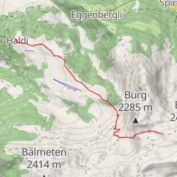
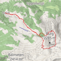
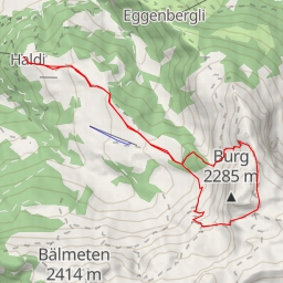
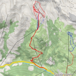
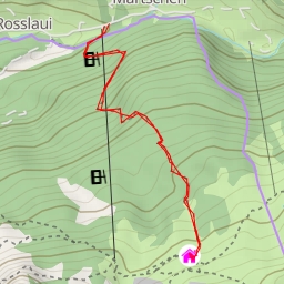
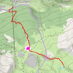
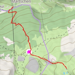
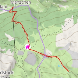
The Leiterweg Ganderfluh hiking route is situated in a picturesque area with stunning natural beauty. This out-and-back trail covers a distance of 11.899 kilometers with an elevation gain of 1161.0 meters, making it a challenging yet rewarding hike.
The journey begins at the trailhead where you can find convenient parking facilities. As you start your hike, you'll come across various points of interest along the way. About 0.48 kilometers into the trail, you'll discover an information point called Sigmanig, providing valuable insights into the surroundings.
Further along the route, at about 5.1 kilometers in, you'll find Alafund, where you can take a break at Alpcafe Alafund and enjoy some refreshments. Nearby, there are benches where you can sit and relax while taking in the scenic views.
One of the highlights of the hike is the series of rock formations scattered around the 5.95-kilometer mark. These natural wonders add a sense of rugged beauty to the trail, showcasing the geological diversity of the area.
As you continue your journey, you may encounter more information points and rock formations, giving you a deeper appreciation for the natural wonders of the region. Along the way, there are also restaurants and additional facilities to cater to your needs.
The Leiterweg Ganderfluh trail offers a moderate to difficult level of difficulty due to its length and elevation gain. Hikers are advised to come prepared with sturdy footwear, plenty of water, and snacks for sustenance. It's also recommended to check the weather forecast before embarking on the hike to ensure a safe and enjoyable experience.
Whether you're an experienced hiker looking for a challenge or a nature enthusiast seeking to explore the beauty of the outdoors, the Leiterweg Ganderfluh trail promises a memorable adventure filled with stunning landscapes and unique points of interest.