&fill=rgba(0,0,0,0))
Leiterweg Ganderfluh
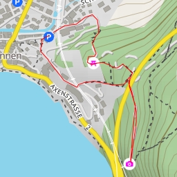
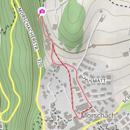
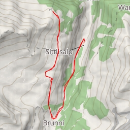
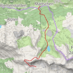
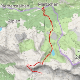
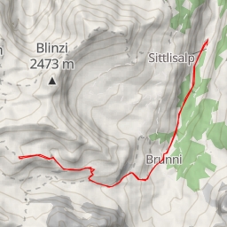
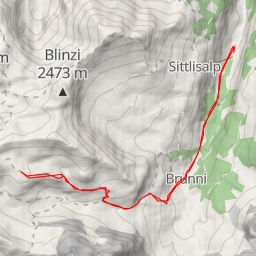
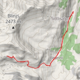
This hiking route will take you through the beautiful area of Leiterweg Ganderfluh, offering stunning views and challenging terrain. With a total distance of 12.093 kilometers and an elevation gain of 1161.0 meters, this route is rated as extremely difficult, so be prepared for a strenuous hike.
As you begin your journey, you will find parking options nearby to leave your vehicle before starting the trail. Along the way, you will come across informative spots like Sigmanig and Brügg, where you can learn more about the area's history and natural surroundings.
During your hike, you will encounter various natural landmarks such as rock formations, adding to the scenic beauty of the route. These rocks are spread out along the trail, some closer to the start while others are further away, making for an interesting journey of discovery.
There are also facilities like Alpcafe Alafund and benches scattered along the trail, providing you with opportunities to rest and refuel as needed. Additionally, Der Gasthof restaurant offers a chance to enjoy a meal with a view during your hike.
Remember to bring an adequate water supply, wear appropriate hiking gear, and check the weather forecast before embarking on this challenging adventure. Whether you are an experienced hiker looking for a tough workout or simply wanting to immerse yourself in nature, the Leiterweg Ganderfluh route promises a rewarding experience for all outdoor enthusiasts.