&fill=rgba(0,0,0,0))
Leiterweg Ganderfluh
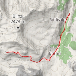
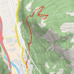
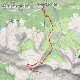
This hiking route takes you through the picturesque area of Leiterweg Ganderfluh, offering stunning views and a challenging terrain. With a total distance of 12.224 kilometers and an elevation gain of 1161 meters, this route is classified as extremely difficult, suitable for experienced hikers.
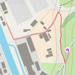
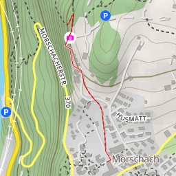
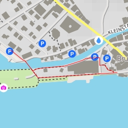
Starting your journey, you will find parking facilities nearby at various points along the trail to begin your adventure. As you make your way through the trail, you will come across informative points such as Sigmanig and Brügg, providing insights into the surroundings.
As you proceed further, you will encounter natural landmarks like rock formations, adding a touch of geological beauty to your hike. These rock formations are situated at different distances from the trail, offering a scenic backdrop to your outdoor experience.
Throughout the route, there are also facilities like restaurants and cafes such as Kinzigpass and Alpcafe Alafund where you can rest and recharge before continuing your trek. Additionally, there are benches along the way for you to take a break and enjoy the serene surroundings.
It is recommended to bring an ample water supply, wear proper hiking gear, and check the weather forecast before embarking on this challenging adventure. Make sure to stay on the designated trail and follow all safety guidelines to ensure a safe and enjoyable hike.
Whether you are a nature enthusiast or a seasoned hiker seeking a new challenge, the Leiterweg Ganderfluh hiking route promises an unforgettable experience amidst the beauty of the outdoors. Plan your trip accordingly and savor every moment of this exhilarating journey.