&fill=rgba(0,0,0,0))
Acequia de Hoyo Puente


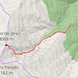
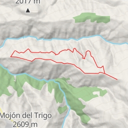
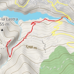
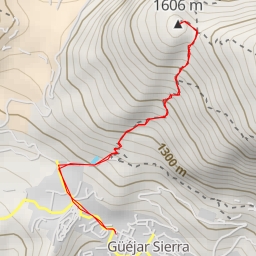
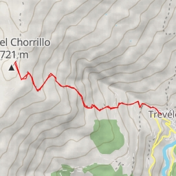
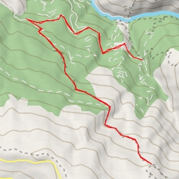
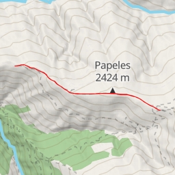
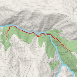
This challenging hiking route explores the stunning Acequia de Hoyo Puente area, offering hikers a total distance of 11.074 kilometers and an elevation gain of 489 meters. The estimated duration for this hike is approximately 3 hours and 47 minutes.
As you set off on this out-and-back trail, you'll come across various points of interest along the way. At the beginning of the trail, you'll find the "Aparcamiento de las Canteras de Serpentina" parking area, where you can leave your vehicle before starting the hike.
About 2 kilometers into the hike, you'll encounter the "Sendero Acequia Haza Mesa" information point, providing insights about the surrounding nature. As you continue onward, you'll reach the "La vida en la sierra" information stop, offering further details about the local area.
Midway through the trail, approximately 5.39 kilometers from the start, you'll find the "Cortijos del Hornillo" alpine hut, perfect for a rest or a snack break. Additionally, there are water points located at 5.54 kilometers and 4.23 kilometers from the start, ensuring you stay hydrated throughout your journey.
For those interested in panoramic views, the "Mirador del Hornillo" viewpoint at 5.21 kilometers from the beginning provides a breathtaking vista of the surrounding landscape. Another viewpoint, "Fuente el Hornillo," is located 5.54 kilometers from the start.
Before embarking on this challenging hike, make sure to pack plenty of water, snacks, and be prepared for changing weather conditions. It's also advisable to check the weather forecast before heading out to ensure a safe and enjoyable hiking experience.