&fill=rgba(0,0,0,0))
Glarus Süd
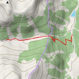
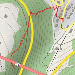
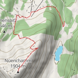
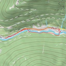
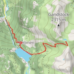
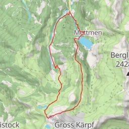
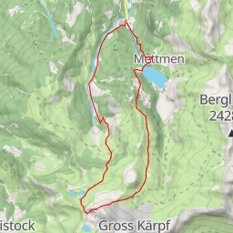
This extremely difficult hiking route in Glarus Süd covers a distance of 12.63 kilometers with an elevation gain of 1099 meters. The total duration for the hike is estimated to be around 5 hours and 40 minutes. Before embarking on this challenging adventure, it is recommended to check the weather forecast and ensure you are well-prepared with proper hiking gear and plenty of water.
The trail starts at a parking area near the Bergen information point. As you begin your journey, you will come across the Sägeplatzbrunnen fountain and a drinking water spot providing a refreshing break. Throughout the hike, you will encounter several natural water sources that can be used to refill your water supply.
Midway through the hike, at around 5.87 kilometers from the start, you will find a series of water points along the trail, offering a chance to rest and rehydrate. Continuing further along the trail, at 6.19 kilometers from the starting point, you will reach the Ski Hutte Mülibachtal, an alpine hut where you can take a break and enjoy the scenic surroundings.
Towards the end of the hike, at approximately 6.28 kilometers from the start, there is a drinking water spot and a picnic site perfect for a relaxing stop before heading back. As you make your way back, you will pass by benches at various points along the trail where you can take in the views and rest if needed.
Overall, this challenging route offers a diverse range of natural landscapes and amenities to support hikers along the way. Remember to stay alert, follow trail markers, and respect the environment during your hike in Glarus Süd.