&fill=rgba(0,0,0,0))
Glarus Süd
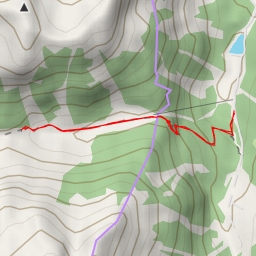
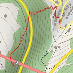
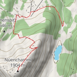
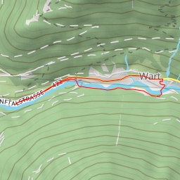
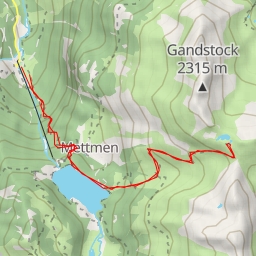
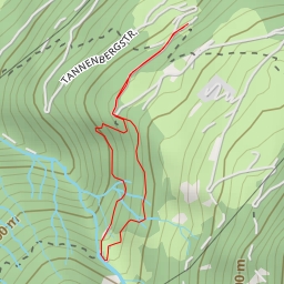
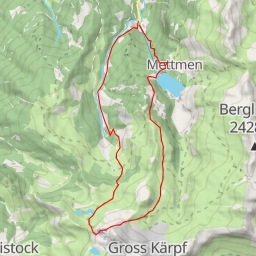
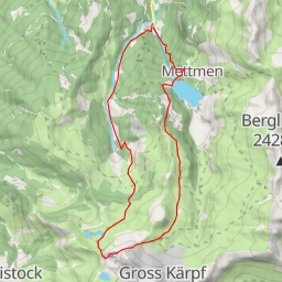
This hiking route is located in the Glarus Süd area and offers a challenging adventure for outdoor enthusiasts. The route is an out-and-back type, covering a total distance of 11.427 kilometers with an elevation gain of 1060 meters. The estimated duration for this hike is approximately 5 hours and 17 minutes.
As you start your journey, you will come across a parking area conveniently located at the beginning of the trail. From there, you will pass by the information point named "Bergen" and the "Sägeplatz" information point. These points provide valuable insights about the area and its surroundings.
Along the way, you will encounter several points of interest such as the "Sägeplatzbrunnen" fountain and the "Skihütte Mülibachtal" alpine hut, offering a chance to rest and appreciate the natural beauty around you. Additionally, there are benches scattered throughout the trail where you can take a break and enjoy the scenic views.
For hydration purposes, you will find drinking water sources and fountains at various points along the trail, ensuring you stay refreshed throughout your hike. It is recommended to carry an ample supply of water and snacks to keep your energy levels up.
It is important to note that the trail passes by a picnic site, allowing hikers to take a break and enjoy a meal amidst the picturesque surroundings. Remember to check the weather forecast before embarking on this hike and wear appropriate gear for the terrain and weather conditions.
Overall, this challenging hike offers a rewarding experience for those looking to immerse themselves in the natural beauty of Glarus Süd. Take your time, enjoy the journey, and stay safe while exploring this captivating trail.