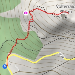
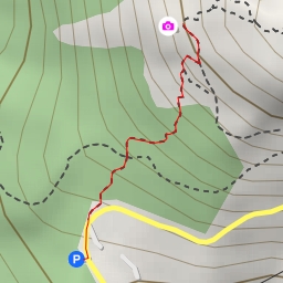
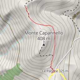
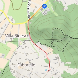
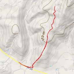
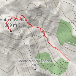
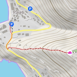
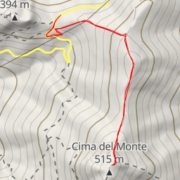
This hiking route takes you through a beautiful area with a total distance of 6.348 kilometers and an elevation gain of 137 meters, making it a moderate difficulty level. The estimated duration for this hike is approximately 1 hour and 48 minutes.
As you start your journey, you will come across a parking area located right at the beginning of the trail, perfect for leaving your vehicle and starting your adventure. Along the way, at a distance of 2.56 kilometers from the start, you will find a water source, providing a refreshing break for hikers. Further along the trail, at a distance of 3.17 kilometers from the start, another water source can be found, ensuring you stay hydrated throughout your hike.
Additionally, at a distance of 2.75 kilometers from the start, there is an information point off the trail, offering insights into the area's history and landmarks. This makes for a great spot to learn more about the surroundings before continuing on your journey.
It is recommended to bring an ample supply of water, especially on warmer days, and to check the weather forecast before heading out to ensure a safe and enjoyable hiking experience. Remember to wear appropriate footwear and carry any necessary supplies for your hike. Enjoy the scenic views and natural beauty that this route has to offer!