&fill=rgba(0,0,0,0))
Hirschinger-Klettersteig


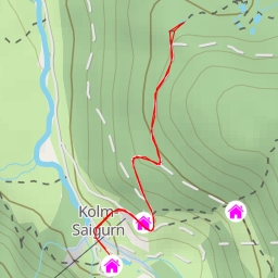
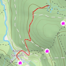
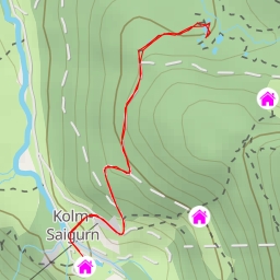
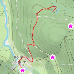
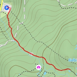
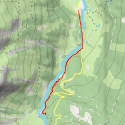
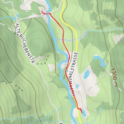
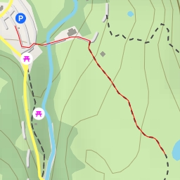
This hiking route takes you through the beautiful Hirschinger-Klettersteig area, offering stunning views and challenging terrain. The circular route spans a distance of 11.388 kilometers with an elevation gain of 990 meters, making it a difficult but rewarding hike that will take approximately 5 hours and 6 minutes to complete.
As you start your adventure, you will come across the Aeroplanstadl restaurant at 2.24 kilometers from the trailhead, offering a perfect spot to grab a bite to eat before continuing on. Along the way, you will also encounter various water sources, such as the Maurachalmhütte at 3.46 kilometers, Zirbenlacke at 5.44 kilometers, and multiple other points for refreshment and hydration.
For nature enthusiasts, keep an eye out for the diverse flora and fauna that call this area home. Be sure to bring plenty of water, snacks, and weather-appropriate clothing, as the weather can change quickly in the mountains.
Throughout the trail, you will find informational points and benches where you can take a break, learn more about the area, and enjoy the scenery. One such point is the Kitzstein at 1.67 kilometers, providing valuable insights into the surrounding landscape.
As you reach the end of the hike, take a moment to reflect on the challenges you've overcome and the beauty you've witnessed along the way. This route offers a true test of endurance and a unique opportunity to immerse yourself in the natural beauty of the Hirschinger-Klettersteig area.