Hochstraße

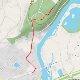
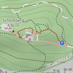
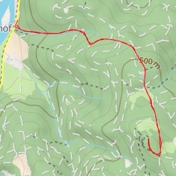
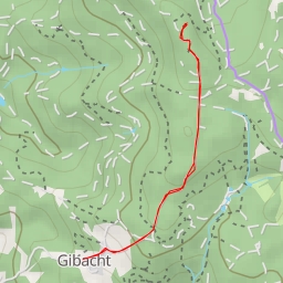
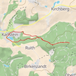
The Hochstraße hiking route offers a delightful excursion through the picturesque area. This circular route spans 3.35 kilometers with an elevation gain of 35 meters, making it an easy hike suitable for all skill levels. The estimated duration for this hike is around 51 minutes.
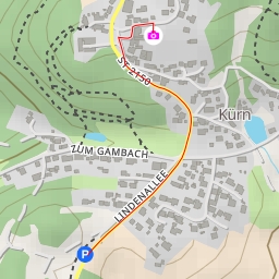
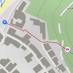
As you embark on your journey, you will encounter several points of interest along the trail. At the beginning of the hike, you will find a water source only 0.72 kilometers from the starting point. As you continue, you will come across a boundary stone, a historic marker located 1.6 kilometers into the hike. Midway through the trail, there is a fountain just a few steps away, offering a refreshing spot to rest and hydrate.
Throughout the hike, be sure to check out the various water features along the way, with multiple natural water sources located at different points on the trail. Additionally, benches are available for those looking to take a break and enjoy the surrounding scenery.
Before setting out on the Hochstraße route, remember to pack plenty of water and snacks, as well as checking the weather forecast to ensure a safe and enjoyable hike. Whether you're a seasoned hiker or just looking for a leisurely stroll in nature, this route provides a peaceful escape in a beautiful setting.