Relief Maps
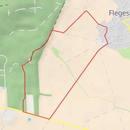
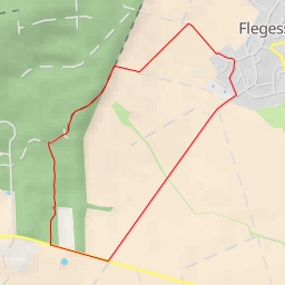
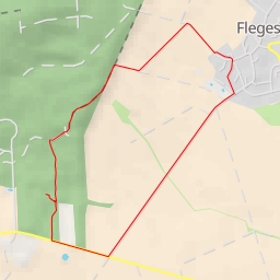
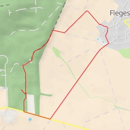
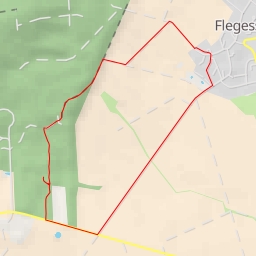
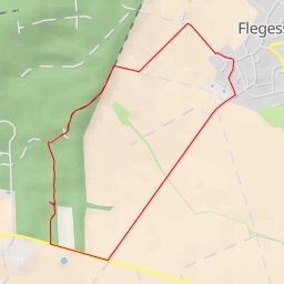
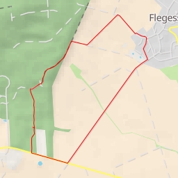
Fahrenbrink
Germany
›
Lower Saxony
›
Region Hannover
Duration
01:24
Distance
4.368 km
Elevation
157.0 m
Pixel-World
Pixel-World
Pixel-World
Pixel-World
Pixel-World
Open in Relief Maps
Download GPX
All hiking routes
Other routes nearby
L 423 - L 423
L 423 - L 423
L 423 - L 423
L 423 - L 423
L 423 - L 423
L 423 - L 423
L 423 - L 423
L 423 - L 423