&fill=rgba(0,0,0,0))
Chandler Fall
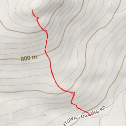
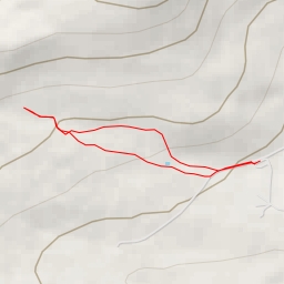
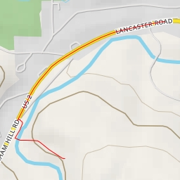
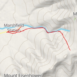
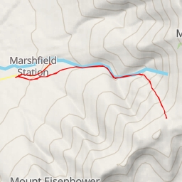
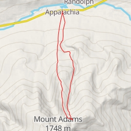
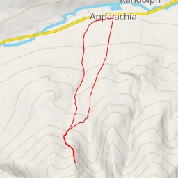
This challenging 8.438-kilometer circular hike in the area features an elevation gain of 592 meters and an estimated duration of 3 hours and 25 minutes. The route starts at the Appalachia trailhead parking, where no fees are required. Before embarking, make sure to check the weather forecast and bring an adequate water supply.
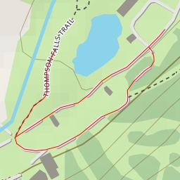
As you begin your trek, you'll pass by Durand Lake, located right at the beginning of the trail. Approximately 0.18 kilometers from the start, you'll encounter an information point, offering insights about the area. Further along, around the 4.05-kilometer mark, you'll marvel at Chandler Fall, a picturesque waterfall worth a stop to admire its beauty.
The trail also features additional information points along the way, providing valuable knowledge about the surrounding environment. Remember to stay on the marked trail and be prepared for some steep and challenging sections due to the elevation gain.
Midway through the hike, you'll find yourself immersed in the natural beauty of the area, surrounded by lush greenery and serene landscapes. Take your time to appreciate the tranquility and unique features of the trail.
As you make your way back towards the trailhead, reflect on the adventure and the stunning sights you've encountered throughout the journey. Enjoy the final stretch of the hike, knowing you've conquered this difficult but rewarding outdoor experience.