&fill=rgba(0,0,0,0))
Lubená

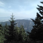
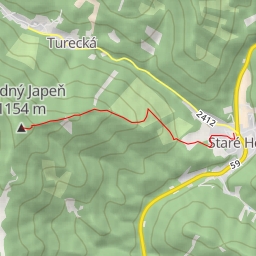
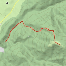
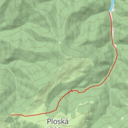
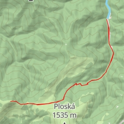
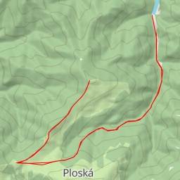
Located in the picturesque Lubená area, this challenging hiking route covers a distance of 11.518 kilometers with an elevation gain of 835 meters, taking an estimated duration of 4 hours and 45 minutes. The trail is considered difficult due to its length and elevation gain.
Starting at the trailhead, hikers will first pass by the parking area before reaching a water feature 5.15 kilometers into the hike. Midway through the route, at 1.39 kilometers, hikers will come across the Ústie Vápennej doliny information point offering insights into the surrounding area. Continuing on, at 0.93 kilometers, there is an information point for Odbočka na hrad Blatnica.
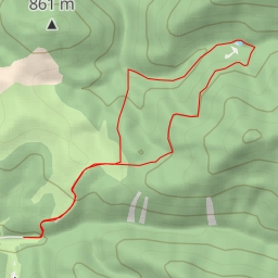
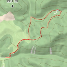
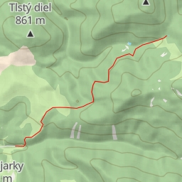
As the hike progresses, at 5.01 kilometers, hikers will reach a viewpoint at Tlstá, offering panoramic views of the surroundings. Additionally, at 3.05 kilometers, there is another viewpoint to take in the scenic landscape. Along the way, hikers will also find rest stops and information points to enhance their experience.
It is recommended for hikers to bring an ample water supply, wear appropriate hiking gear, and check the weather forecast before embarking on this challenging trail. Whether you are a seasoned hiker or looking for a new adventure, the Lubená hiking route promises an exhilarating experience amidst nature's beauty.