&fill=rgba(0,0,0,0))
OHGV Denkmal "Hohenstein" - Unkenweg
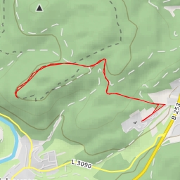
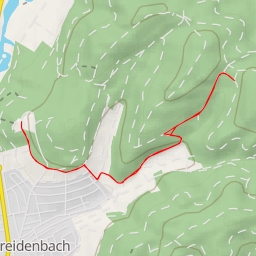
This hiking route takes you through a picturesque area with beautiful natural surroundings. The trail is a circular route with a total distance of 3.978 kilometers and an elevation gain of 113 meters, making it an easy hike suitable for all skill levels.
As you start your journey, you will come across the first point of interest, a water source located approximately 1.93 kilometers from the beginning of the trail. This is a great spot to refill your water bottle and take a short break before continuing on.
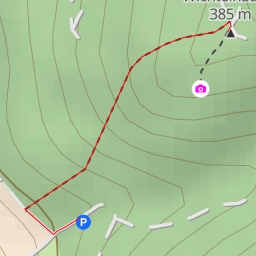
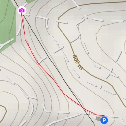
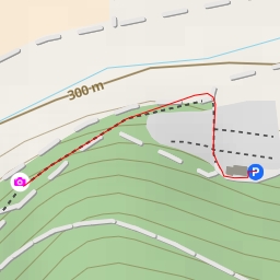
Along the way, at the midway point, you will find a parking area that you can use if you are arriving by car. This is a convenient spot to start your hike or to leave your vehicle while you explore the area on foot.
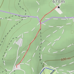
Another point of interest on this route is the Hainseifenkopf peak, located about 0.7 kilometers from the start of the trail. While it is not directly on the trail, it is worth a slight detour for those looking to enjoy panoramic views of the surrounding landscape.
Before embarking on this hike, make sure to bring an adequate supply of water, as well as snacks and suitable footwear. It is also recommended to check the weather forecast before setting out, as conditions can change rapidly in outdoor environments.
Overall, this hiking route offers a pleasant and scenic way to explore the natural beauty of the area, with various points of interest along the way to enhance your outdoor experience.