&fill=rgba(0,0,0,0))
Zgornje Rute


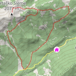
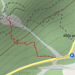
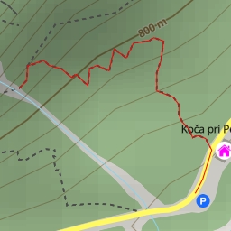
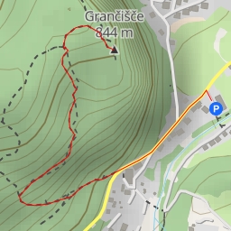
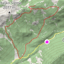
Welcome to the hiking route at Zgornje Rute! This moderate trail spans a distance of 5.781 kilometers with an elevation gain of 380 meters, taking an estimated duration of 2 hours and 17 minutes.
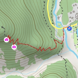
Starting off your adventure, you'll encounter a couple of viewpoints early on the trail. The first viewpoint is located just 0.48 kilometers from the start, offering a picturesque vantage point to enjoy the surrounding scenery. As you continue, at approximately 1.12 kilometers, you'll reach another viewpoint where you can take in more stunning views of the area.
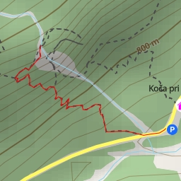
Around the midway point of the hike, at 2.89 kilometers, you'll come across the II. Martuljški slap waterfall. Take a moment to admire the cascading waters before proceeding further. Another noteworthy spot is the Brunarica pri Ingotu restaurant, located at 1.37 kilometers, where you can refuel and rest before continuing on your journey.
As you near the end of the trail, you'll encounter various facilities such as benches and information points that offer a glimpse into the history and natural features of the area. Remember to stay hydrated, bring along plenty of water, and check the weather forecast before embarking on this hike.
Overall, the route at Zgornje Rute provides a rewarding outdoor experience with diverse points of interest to explore. Whether you're a seasoned hiker or a nature enthusiast, this trail offers a mix of scenic views, waterfalls, and facilities to enhance your hiking adventure. Enjoy your hike and take in the beauty of this picturesque area!