&fill=rgba(0,0,0,0))
Koča na Doliču - Za Planjo (mulatjera) - Koča na Doliču - Za Planjo (mulatjera)
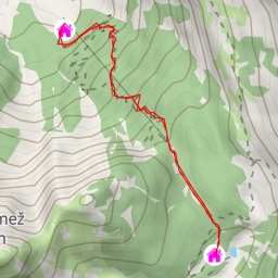
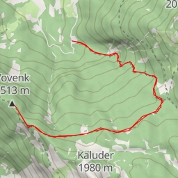
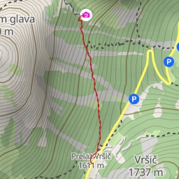
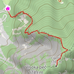
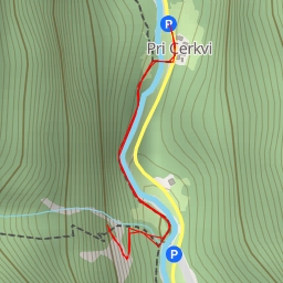
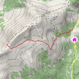
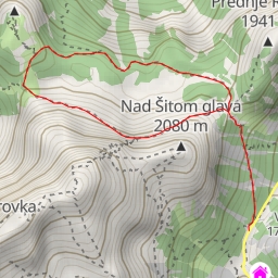
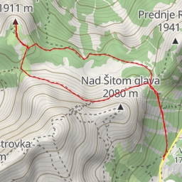
This hiking route takes you through the picturesque area around Koča na Doliču in Slovenia. With a distance of 23.873 kilometers and an elevation gain of 2157 meters, this hike is labeled as extremely difficult, so be prepared for a challenging trek.
Starting at the parking area near the trailhead, you will first come across an alpine hut called Aljažev dom v Vratih, located 0.49 kilometers from the start. This is a great spot to rest and recharge before continuing on your journey.
As you hike further, you'll encounter another alpine hut, Šlajmerjev dom v Vratih, just 0.33 kilometers from the start. This is another opportunity to take a break and enjoy the stunning surroundings.
Along the way, you'll also pass by some historic ruins, such as Triglavska gorska vojašnica Viktorja Emanuela III and Stražarnica vojašnice Viktorja Emanuela III, both located at 11.94 kilometers from the start.
One of the noteworthy landmarks on this route is the peak Glava v Zaplanji, located 11.94 kilometers from the start. While not directly on the trail, it offers a stunning view for those who wish to venture off the path.
Make sure to stay hydrated by refilling your water bottles at the various springs located along the trail. Additionally, check the weather forecast before embarking on this hike, as the conditions can be challenging in this alpine environment.
Overall, this out-and-back route offers a unique opportunity to experience the beauty of the Slovenian mountains, but it's important to be well-prepared for the strenuous journey ahead.