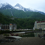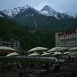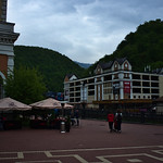
Hiking : набережная Панорама
Russia Krasnodar Krai town district of Sochi
&fill=rgba(0,0,0,0))
Durée
Distance
Dénivelé
This hiking route takes you through a beautiful area with stunning views and various points of interest to explore along the way. The route is a circular one, starting and ending at the destination name "набережная Панорама".
The total distance of the hike is approximately 1.835 kilometers with an elevation gain of 0.0 meters, making it a super easy trail suitable for beginners and families.
As you start your hike, you will come across "Парковка P6" which is a parking area located right at the beginning of the trail. Further along the trail at around 0.25 kilometers, you will find "Rosa Beach" cafe where you can take a break and enjoy some refreshments.
At around 0.44 kilometers into the hike, you will find a couple of benches to rest on and take in the surroundings. Continuing on, at 0.62 kilometers, you will pass by "Макдоналдс" fast food restaurant where you can grab a quick meal.
Throughout the hike, you will also encounter various restaurants and cafes such as "The Amsterdam", "RED FOX", and "Surf coffee" where you can dine and relax. Additionally, there are several information points and spring water sources along the trail for your convenience.
It is advisable to bring plenty of water, snacks, and to check the weather forecast before embarking on this hike. Ensure you wear appropriate footwear and clothing for the terrain and conditions.
Take your time to enjoy the scenic views, explore the points of interest, and embrace the tranquility of nature on this leisurely hike.


