&fill=rgba(0,0,0,0))
Vysoká hora


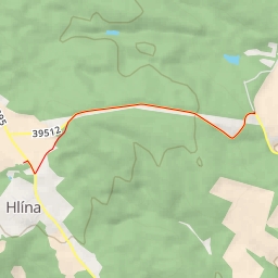
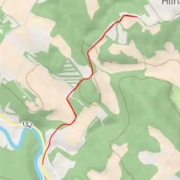
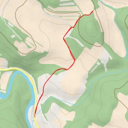
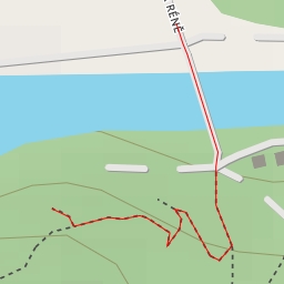
Welcome to the hiking route to Vysoká hora! This circular trail covers a distance of 4.264 kilometers with an elevation gain of 69.0 meters, making it an easy hike suitable for all skill levels. The estimated duration for this hike is 1 hour and 9 minutes.
The trail starts at the parking area near Střelice, where you'll find the first wayside cross just 0.04 kilometers away. As you progress, you'll come across historical landmarks such as "Padlým vojínům ve světové válce 1914-1918, oběti války 1939-1945" memorial at the beginning of the hike. Midway through the trail, you'll encounter the viewpoint offering a breathtaking scenery around you.
As you continue on the well-marked path, you'll reach Vysoká hora, a natural peak standing majestically 1.91 kilometers into the hike. Take a moment to enjoy the stunning views from the top before heading back. Along the way, you'll find benches to rest and relax.
Remember to pack enough water, wear comfortable hiking shoes, and check the weather forecast before embarking on this adventure. Whether you're a seasoned hiker or just starting, this hike to Vysoká hora offers a perfect blend of nature, history, and panoramic views. Enjoy your trek!