&fill=rgba(0,0,0,0))
Rabenstein
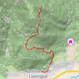
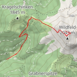
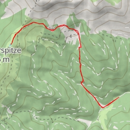
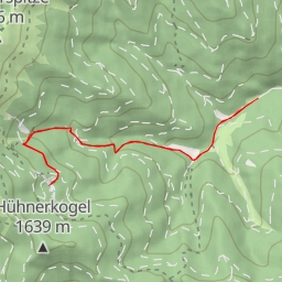
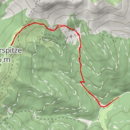
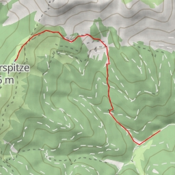
Welcome to the Rabenstein hiking route! This circular trail spans a distance of approximately 5.02 kilometers with an elevation gain of 286 meters, offering a moderate level of difficulty for hikers. The estimated duration for completing this hike is around 1 hour and 52 minutes.
Starting off at Rabenstein, hikers will encounter several points of interest along the way. At the beginning of the trail, you'll come across the Gasthof Maier, a cozy restaurant located just 0.26 kilometers from the starting point, offering a perfect spot to grab a meal before embarking on your adventure. Further along the trail, at a distance of 0.07 kilometers from the start, you'll find a quaint fountain where you can take a refreshing break.
As you continue your journey, you'll reach the peak known as Rabenstein, located 2.42 kilometers from the starting point, providing breathtaking views of the surrounding landscape. Along the trail, you'll also encounter the historic Mariensäule monument, situated just 0.07 kilometers from the start, adding cultural significance to your hike.
For those in need of a rest, various benches and facilities are scattered throughout the trail, offering opportunities to take a break and enjoy the serene atmosphere. Additionally, amenities like Cafe Hüttenbrenner and Gasthaus zur Traube provide sustenance for hungry hikers, located just 0.01 kilometers from the start.
Before setting out on this hiking adventure, ensure you bring an ample water supply, as well as checking the weather forecast to prepare accordingly. Whether you're a novice hiker or a seasoned explorer, the Rabenstein hiking route promises a memorable outdoor experience filled with natural beauty and historical charm. Enjoy your journey!