&fill=rgba(0,0,0,0))
Reitweg


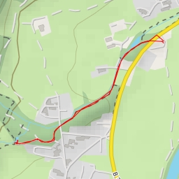
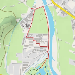
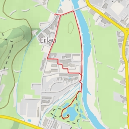
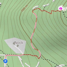
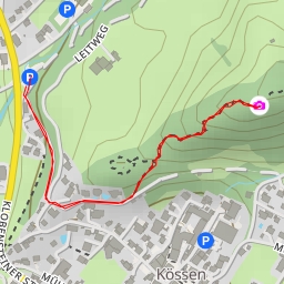
Welcome to the Reitweg hiking route! This picturesque trail offers stunning views and a challenging trek for hikers looking to immerse themselves in nature. With a total distance of 8.728 kilometers and an elevation gain of 811 meters, this difficult route will take you approximately 4 hours and 2 minutes to complete.
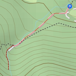
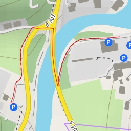
As you begin your journey, you'll come across the Kampenwandbahn parking area, where you can leave your vehicle before hitting the trail. About 1.83 kilometers into the hike, you'll reach the Geißstiegwand climbing area, perfect for climbers looking to test their skills.
Along the way, you'll encounter several dining options such as Gorialm, SonnenAlm, Möslarnalm, and Zur Burg restaurant, where you can refuel and recharge before continuing your adventure. Remember to bring plenty of water and snacks to keep yourself energized throughout the hike.
For those seeking a break, there are benches and viewpoints scattered throughout the trail, allowing you to pause and take in the breathtaking scenery. Make sure to visit the various landmarks like the Kriegerdenkmal memorial and Theodor von Cramer-Klett memorial to learn about the history of the area.
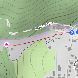
As you reach the pinnacle of your hike, you'll come across Theodor von Cramer-Klett memorial, providing a fitting end to your outdoor adventure. Remember to check the weather forecast before embarking on this challenging hike and always prioritize safety during your journey.
Whether you're a seasoned hiker or a nature enthusiast looking for a new challenge, the Reitweg trail offers a rewarding experience amidst the beauty of the great outdoors. Lace up your hiking boots, pack your essentials, and embark on an unforgettable journey through this captivating landscape.