&fill=rgba(0,0,0,0))
Mooserbichl
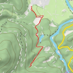
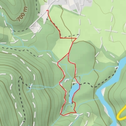
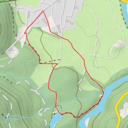
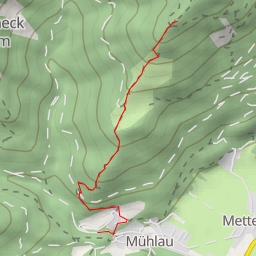
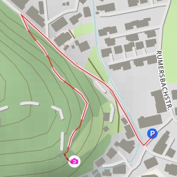
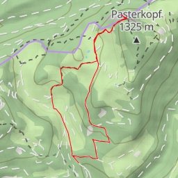
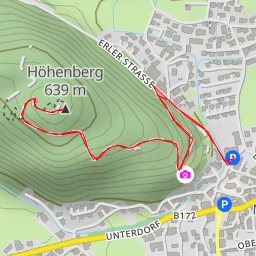
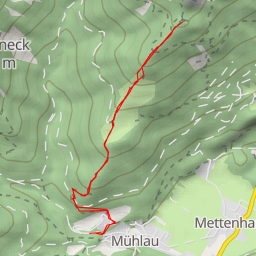
This hiking route takes you through the beautiful area surrounding Mooserbichl. The trail is a moderately difficult out-and-back route with a total distance of 6.946 kilometers and an elevation gain of 473 meters. It is estimated to take about 2 hours and 47 minutes to complete.
As you start your journey, you'll come across the Kampenwandbahn parking area, located right at the beginning of the trail. About 0.18 kilometers into the hike, you'll find Zur Burg, a wheelchair-accessible restaurant where you can grab a bite to eat.
Further along the trail, at around 0.56 kilometers from the start, there is a drinking water station where you can refill your water bottles. As you continue, you'll pass by a fountain and a memorial called Kriegerdenkmal.
Around the halfway point of the hike, approximately 3.47 kilometers from the start, you'll come across a natural spring and a picturesque waterfall named Theodor von Cramer-Klett. These make for great spots to take a break and enjoy the surroundings.
Towards the end of the trail, at 0.5 kilometers from the start, you'll find a bench and a wayside cross known as Pankraz von Freyberg, offering a peaceful place to rest before heading back.
Remember to bring plenty of water, wear appropriate hiking gear, and check the weather forecast before embarking on this adventure. Enjoy the stunning views and the tranquility of the Mooserbichl area on this rewarding hike.