&fill=rgba(0,0,0,0))
Benerweg


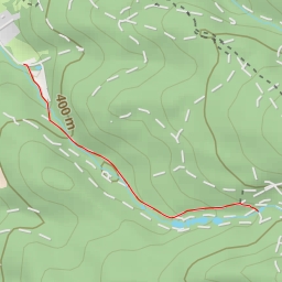
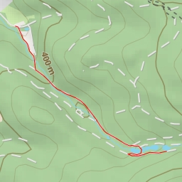
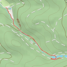
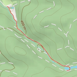
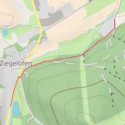
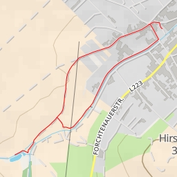
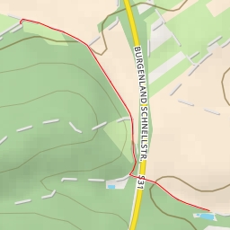
This hiking route takes you through the picturesque area of Benerweg, offering a challenging yet rewarding experience. With a total distance of 7.019 kilometers and an elevation gain of 154 meters, this trail is considered difficult and is estimated to take about 2 hours to complete.
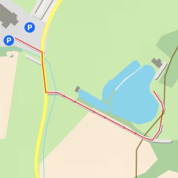
Starting at the parking area located right on the trail, you will soon come across a wayside shrine, a historical site that adds cultural significance to the hike from the very beginning. As you continue on the trail, you will encounter several benches scattered along the way, offering hikers a place to rest and take in the surrounding natural beauty.
About halfway through the hike, at 3.34 kilometers from the start, you will reach the peak known as Bener, providing a stunning viewpoint to admire the landscape below. Just a short distance away, at 3.39 kilometers, you will find another bench and a viewpoint where you can pause and appreciate the scenery around you.
As you make your way back on the trail, you will pass by a water source at 0.53 kilometers from the start, ensuring you can refill your water bottles if needed. Towards the end of the hike, at 1.46 kilometers from the start, you will encounter another water feature, offering a refreshing stop before completing the circular route.
It is recommended to bring an ample water supply, wear appropriate hiking gear, and check the weather forecast before embarking on this challenging trek. The diverse points of interest along the trail make it a truly enriching experience for those seeking adventure in the great outdoors.