&fill=rgba(0,0,0,0))
Rušnata Mlinarica


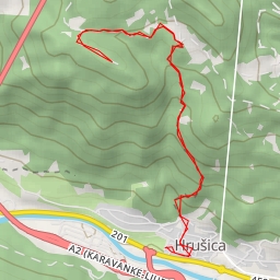
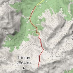
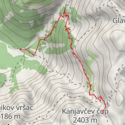
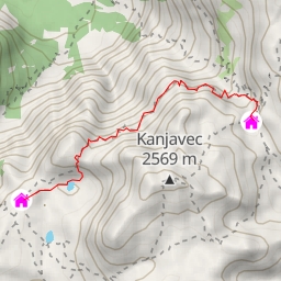
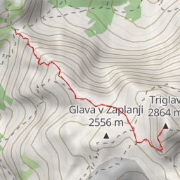
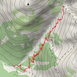
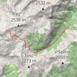
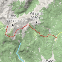
This hiking route takes you through the stunning area of Rušnata Mlinarica. The trail spans approximately 20.345 kilometers with an elevation gain of 1239 meters, making it an extremely difficult hike that will challenge even experienced hikers. The estimated duration for the hike is around 7 hours and 48 minutes.
As you start your journey, you will come across various points of interest along the way. Approximately 2.64 kilometers from the start, you will find "Pri Rosu," a parking area to leave your vehicle before venturing further into the hike. Further along, at around 4.29 kilometers from the start, you will encounter "Kosmačev preval," a saddle offering breathtaking views of the surrounding natural landscape.
Around 7.34 kilometers from the start, you'll reach "Predelov vrh," a peak that provides an excellent vantage point for taking in the scenic beauty of the area. As you continue on, you'll also come across "Kravja dolina," a saddle located approximately 6.83 kilometers from the starting point.
Throughout the trail, there are several facilities such as "Koča pri Peričniku," an alpine hut located at 0.03 kilometers from the start, providing a perfect resting spot for hikers. Additionally, make sure to stay hydrated as there are drinking water points available at various locations along the route.
It is essential to come prepared for this challenging hike by bringing plenty of water, snacks, proper hiking gear, and checking the weather forecast before embarking on the journey. With its stunning natural beauty and rewarding viewpoints, the Rušnata Mlinarica hiking trail promises an unforgettable outdoor adventure for those willing to take on the challenge.