&fill=rgba(0,0,0,0))
Balin
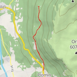
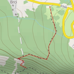
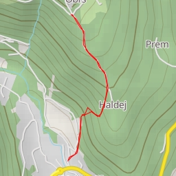
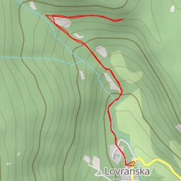
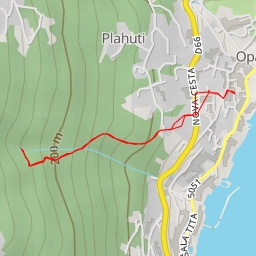
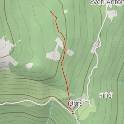
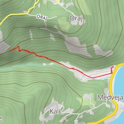
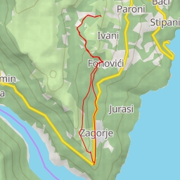
Welcome to the hiking route around Balin! This circular trail covers a distance of 13.235 kilometers with an elevation gain of 751 meters, making it an extremely difficult hike. The estimated duration for this hike is around 4 hours and 56 minutes.
Starting at the parking area, you will first pass by the viewpoint at 0.31 kilometers from the start, offering you a scenic spot to take in the surroundings. As you continue, you will come across the restaurant Perun at 0.36 kilometers, where you can grab a bite to eat before the challenging journey ahead.
Around 2.77 kilometers from the start, you will encounter a natural water source, perfect for refilling your water bottles. As you trek further, at 3.77 kilometers, you will find Kladanj, another water spot off the trail.
Throughout the hike, you will also come across several interesting points such as the city gate named Gradska vrata and the wayside shrine of Ivan Nepomuk. At 5.68 kilometers, you can visit Prelaz Bodaj for some tourist information.
The highlight of the hike is reaching the peak of Balin at 6.26 kilometers, offering panoramic views of the natural surroundings. Towards the end of the trail, you will find the peak of Gradac at 4.22 kilometers from the start, a challenging yet rewarding point to reach.
As this is an extremely difficult hike with significant elevation gain, it is important to come prepared with plenty of water, snacks, and proper hiking gear. Additionally, checking the weather forecast before heading out is recommended to ensure a safe and enjoyable hiking experience.
So lace up your hiking boots, pack your essentials, and embark on this challenging and rewarding adventure around Balin!