&fill=rgba(0,0,0,0))
Hraniční stoupání
Welcome to the Hraniční stoupání hiking route!
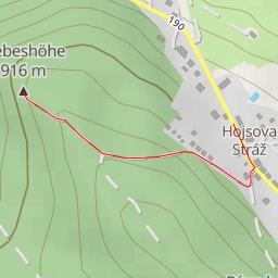
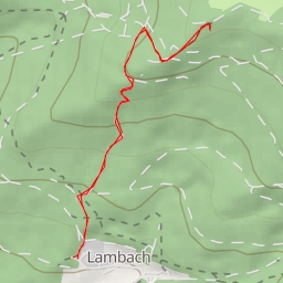
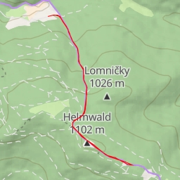
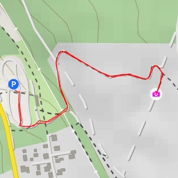
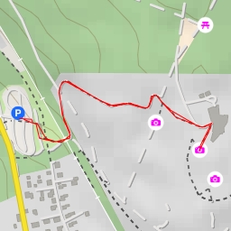
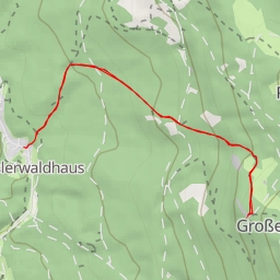
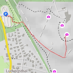
Located in a beautiful natural area, this moderate difficulty trail spans 5.523 kilometers with an elevation gain of 107 meters, making it a great choice for a day hike.
As you start your journey, you will pass by a tranquil water feature just 0.25 kilometers from the trail. A bit further, at the beginning of the trail, you will find convenient parking spots for your vehicle.
As you continue along the path, you will come across several historic boundary stones, each with its own unique significance. These boundary stones mark various points along the trail, offering a glimpse into the area's past.
Midway through your hike, you will encounter a viewpoint that provides stunning panoramic views of the surrounding landscape. Take a moment to rest and soak in the beauty around you.
Throughout the hike, you will also find benches and memorials scattered along the trail, providing opportunities to take a break and reflect on the history and nature of the area.
Before embarking on this adventure, be sure to bring plenty of water, wear sturdy hiking shoes, and check the weather forecast. And remember, leave no trace behind to help preserve the natural beauty of the area.
Enjoy your hike along the Hraniční stoupání trail!