&fill=rgba(0,0,0,0))
B 26
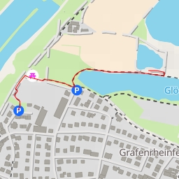
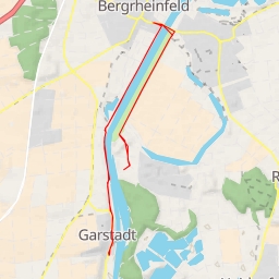
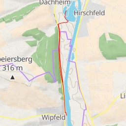
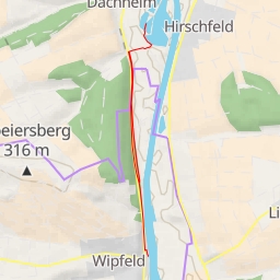
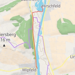
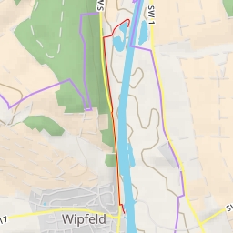
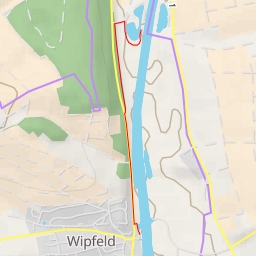
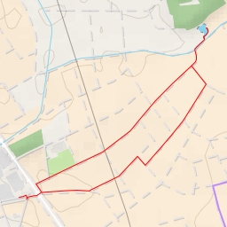
Welcome to the hiking route around B 26! This super easy circular trail covers a distance of 1.361 kilometers with no elevation gain, making it perfect for hikers of all levels.
Starting at the designated parking area, you'll begin your journey by following the well-marked trail. Just 0.05 kilometers from the start, you'll come across a beautiful water feature, providing a serene spot to take in the surroundings. As you continue onwards, at the 0.35 kilometer mark, you'll find another water spot conveniently located right along the trail.
Along the way, keep an eye out for historic wayside shrines that showcase the area's rich history. You'll encounter one about 0.05 kilometers from the start, and two more at the 0.02 kilometer and the 0.0 kilometer marks respectively. These cultural landmarks add a touch of charm to your hike.
Remember to bring plenty of water, as the trail offers limited water sources. Additionally, check the weather forecast before embarking on your adventure to ensure a safe and enjoyable experience. Whether you're exploring solo or with a group, this circular route around B 26 promises a relaxing and scenic hike for all nature enthusiasts.