&fill=rgba(0,0,0,0))
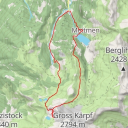
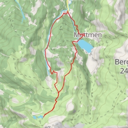
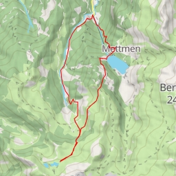
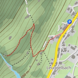
This hiking route takes you through a beautiful area with a total distance of 3.632 kilometers and an elevation gain of 416 meters, making it a moderate difficulty hike. Make sure to bring plenty of water and check the weather forecast before heading out.
As you start your journey, you'll come across a parking area right at the beginning of the trail. About 0.09 kilometers from the start, you'll reach the Hinter Saggberg information point, where you can learn more about the area.
Continuing on, at around 0.11 kilometers from the start, there is a bench where you can take a rest and enjoy the surroundings. As you approach the 0.95-kilometer mark, you'll encounter a beautiful waterfall, followed by another waterfall at 1.24 kilometers.
At 1.73 kilometers into the hike, you'll come across another impressive waterfall, adding to the scenic beauty of the trail. Further along, at 1.71 kilometers, there is a cave entrance to explore, adding a sense of adventure to the journey.
Finally, at the 1.82-kilometer mark, you'll reach another stunning waterfall before heading back the same way you came. Be sure to take your time, enjoy the views, and immerse yourself in the peaceful surroundings of this hiking route.